The Centre for Health, Population and Development (CHPD) at Independent University, Bangladesh (IUB) organized a mapathon on 31st March, 2018. The event was part of an international collaboration with the National Institute for Health Research (NIHR) Global Health Research Unit on Improving Health in Slums. This project is led by the University of Warwick, England and conducted in four countries: Kenya, Nigeria, Bangladesh and Pakistan. The Principal Investigator for the Bangladesh arm of the study is Professor Rita Yusuf, with Professor Omar Rahman as the co-PI. The NIHR Global Research Unit aims to improve health services in nine slums across Asia and Africa.
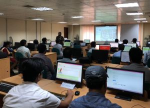
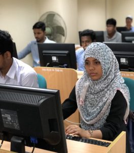
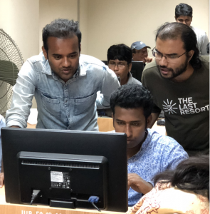
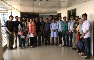
In the mapathon, faculty members at IUB and community volunteers used satellite imagery in OpenStreetMap (OSM) to create a map of Korail slum in Mohakhali, Dhaka. This map will help examine current health services and facilities and understand how these are used in the slum. Support for the mapathon was provided by the mapping team at Pathao, a transportation technology company in Dhaka, Bangladesh. GIS experts from Mitra and Associates, a survey-research firm, also participated in the mapathon. CHPD Associates Ms. Tarzia Choudhury and Mr. Ornob Alam were instrumental in coordinating the mapping and mapathon. Some photographs taken during the mapping event are as follows.


The research w as commissioned by the National Institute of Health Research using Official Development Assistance (ODA) funding. The views expressed are those of the author(s) and not necessarily those of the NHS, the NIHR or the Department of Health and Social Care.