Presentation by João Porto de Albuquerque, Godwin Yeboah, Vangelis Pitidis, and Philipp Ulbrich at State Of The Map 2018
Abstract
Background and purpose. Following the paradigmatic examples of the use of OSM for crisis mapping, there have been sustained efforts to use OSM for mapping preventively vulnerable communities in the global South. This includes, for instance, participatory mapping in the slums of sub-Saharan Africa (Hagen, 2017) and the Missing Maps project. Researchers have also started to study these mapping activities (e.g. Albuquerque et al. 2016; Herfort et al. 2017). However, a collaborative agenda in this area is missing that is able to reflect views and needs of researchers, OSM volunteers, humanitarian organisation practitioners and local communities.
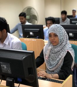
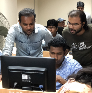
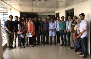
Methodology and Findings. After a brief review of existing methods used for mapping disadvantaged communities and slums, we introduce the approach and report on preliminary results from an ongoing large-scale project (NIHR Global Health Research Unit on Improving Health in Slums), which uses OSM for mapping slums in five cities: Dhaka (Bangladesh), Karachi (Pakistan), Nairobi (Kenya), Ibadan and Lagos (Nigeria). Our methods are based on the combination of satellite imagery digitisation with ground-truthing and participatory mapping. The maps produced will result in enhanced information regarding environmental features of the slums and the location of healthcare facilities, which will also be used as a basis for the health-science surveys of the project. In this manner, our approach is aimed at achieving a threefold goal: (a) participation and inclusion of local stakeholders as a strategy to build resilience; (b) worldwide collaboration, connecting to the global Humanitarian OSM network and student mapping societies; (c) quality evaluation mechanisms for generating high-quality data that can also be used for scientific research.
Final discussion/Impact. We would like to discuss the approach and results of our project as a basis to invite OSM researchers, practitioners and volunteers to join us in defining a collaborative agenda towards improving methods and practice for mapping vulnerable communities in OSM. This should include challenges from an interdisciplinary perspective that account for technical, methodological, social and ethical issues. As a result, we would like to contribute to the emergence of an OSM research agenda that goes beyond solely using OSM geographic data for research, but also includes ways of engaging the OSM community and local communities in the research process.
Recorded audio presentation from SoTM2018 event (YouTube)
Tweets from SoTM2018 event
Geospatial mapping is just the beginning. Slum health mapping. #sotm pic.twitter.com/HHpkkwxmmJ
— Kshitiz Khanal (@kshitizkhanal7) July 29, 2018
Great work in slum heath #mapping in #Kenya in #openstreetmap as catalyst for community development #SOTM pic.twitter.com/mHl50TBmHR
— Crowd2Map Tanzania (@Crowd2Map) July 29, 2018
Well done @ulbphil @vaggpit for presenting our Slum Mapping project at #SOTM2018 ! https://t.co/67bBCRgvVW
— Joao Porto de Albuquerque (@j_p_albuquerque) July 29, 2018
If you want to know more follow #slummapping #sotm pic.twitter.com/gZtDQ8wbW2
— Crowd2Map Tanzania (@Crowd2Map) July 29, 2018
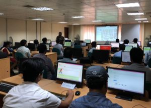
Hello world, #sotm 2018 #Milan crowd is vibrant and full of energy! 🗺️⚡️And look, we all ♥️ #OpenStreetMap! https://t.co/wLDSaoupjQ @polimi @openstreetmap @OpenStreetMapIt @WikimediaItalia @PoliMappers @Ale_Zena_IT pic.twitter.com/A9ozeYAoeo
— State of the Map (@sotm) July 28, 2018
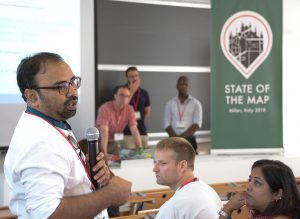
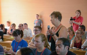
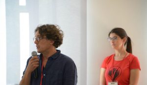
Question time snapshots after our presentation (click photo to see source url)
The research w as commissioned by the National Institute of Health Research using Official Development Assistance (ODA) funding. The views expressed are those of the author(s) and not necessarily those of the NHS, the NIHR or the Department of Health and Social Care.
